A quick guide to Marine Stingers in Fiji and First Aid for those Marine Stings…
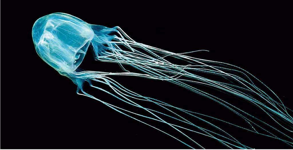
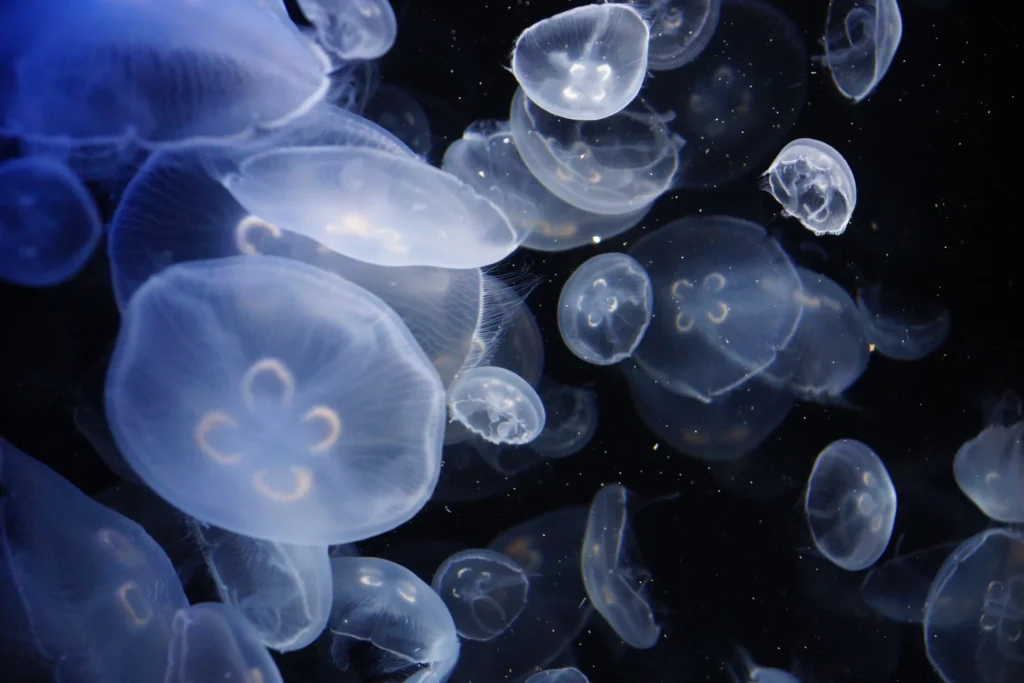
True jellyfish have an open bell or hood – the main body shaped like an umbrella, with lots of tentacles or arms coming out of the bottom, where the handle of the umbrella would be.
While all jellyfish can sting, most are not powerful enough to hurt a human for more than 15 – 20 minutes.
The stings are only in the tentacles, not the bell (or body), which are quite short, so some larger jellyfish can safely be pushed out of the way as long as you only touch the bell.
Comb jellies and salps are shaped more like a closed bag or balloon, with no tentacles or sometimes with only two, they DO NOT HAVE STINGS and are totally harmless.
…A quick guide to Marine Stingers in Fiji and First Aid for those Marine Stings…Read More »
A quick guide to Marine Stingers in Fiji and First Aid for those Marine Stings… Read More »